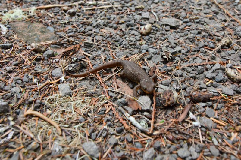
Rough skinned newt. Don't touch it, or smoke it.
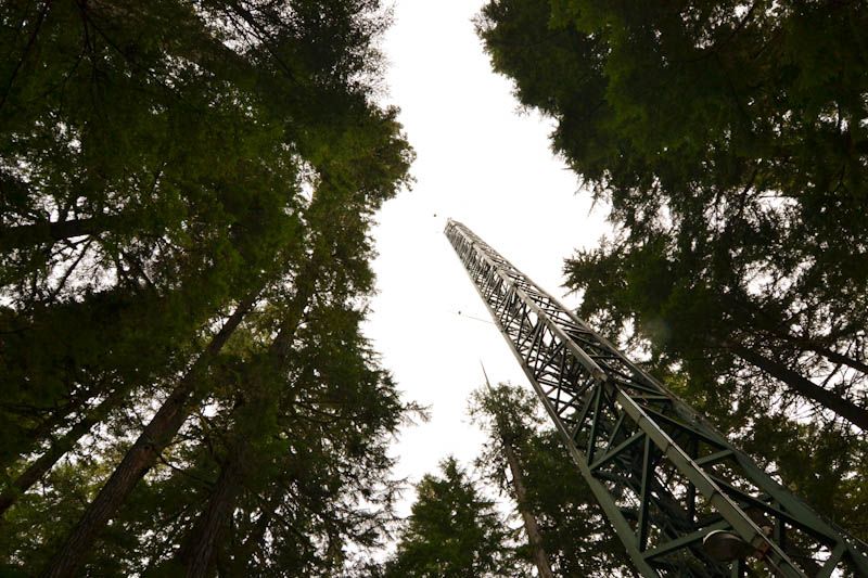
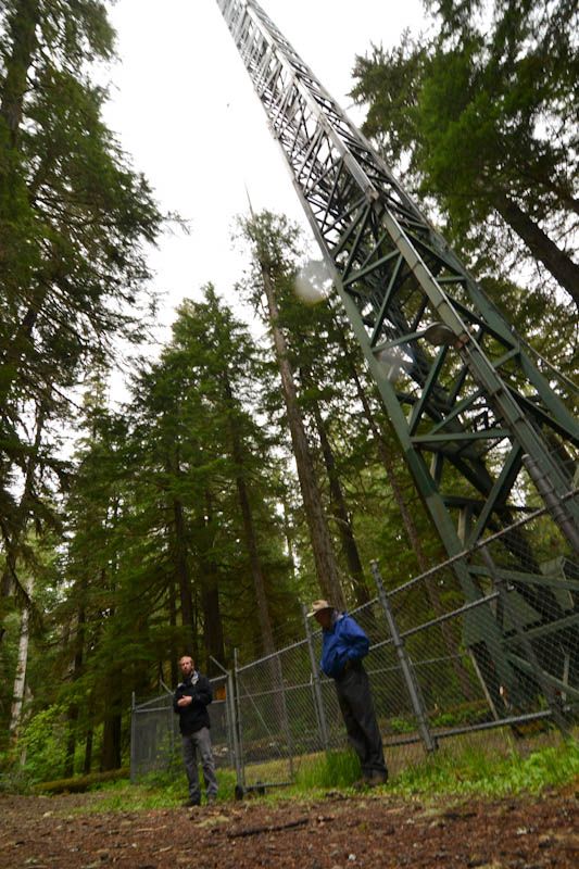
This was the leg of the canopy crane that used to be here at Wind River. It only existed for about 10 years before they made us take it down, but during the time when it was functional, the allowed scientists to study the forest canopy like never before. It used to be that in order for you to study the upper tiers of the forest, you would have to climb the trees, which is physically demanding, or you'd have to take single branches down (shotgun) and study them from the ground. The crane allowed scientists easy access to areas that no research has ever touched, letting them discover species and processes that are unique to the canopy!
The crane now operates acts as a site for carbon sequestration research. Preliminary research has found that forests - even the slow growing, decadent old-growth forests - are carbon sinks, meaning they take in more carbon than they let out. Forests regulate atmospheric carbon levels and global temperatures. This is why forests are important, people!!
There is also some awesome soil science happening at Wind River, mainly because of the methods that researchers are using to acquire data. Usually, if you wanted to find soil moisture levels, you would have to take a field sample, mass it, dry it, and mass it again to find how much water was lost. This techniques leaves a lot of room for error, and is terribly time consuming. Another problem with soils is that current satellites can only measure a depth of 1 in. of soil, which leaves much to be desired. But who would have thought the solution to this problem might come from cosmic rays?? That's right, I said cosmic rays. The rays that originate from supernovae and have been bouncing around our universe ever since the Big Bang and could tell us a lot about the origin and age of the universe.
The neutrons from the rays are inversely correlated with the hydrogens in the soil water, so if researchers measure the electrons that are proportionate to the neutrons, they can know soil moisture levels on a large scale and at a greater depth (up to 2 feet compared to 1 in. with satellite capabilities).
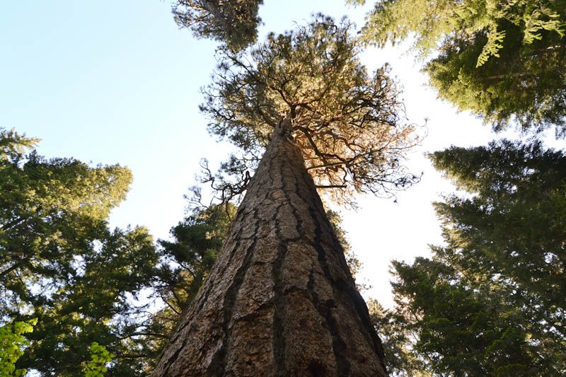
One of the largest pinus ponderosa in the region.
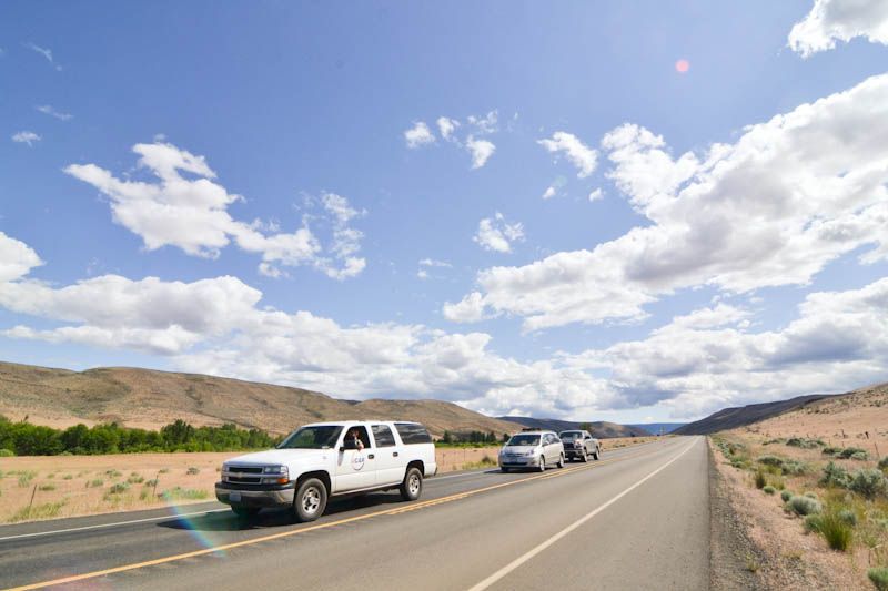
We drove a little through eastern Washington on the way back.
There was a huge backup in the middle of nowhere, a perfect photo op!
There was a huge backup in the middle of nowhere, a perfect photo op!
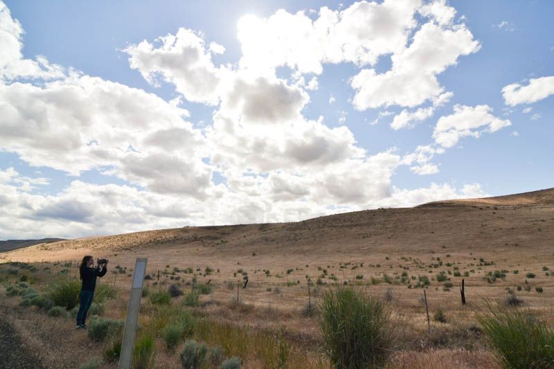
Hills and clouds. So beautiful.
JULIANNNN

